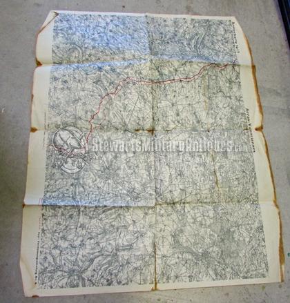
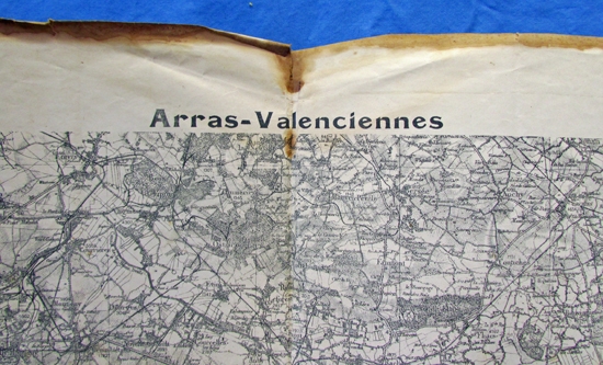
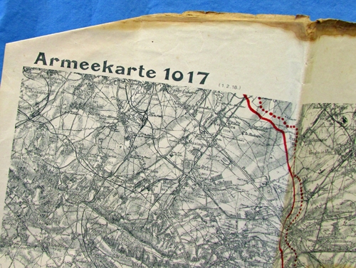
German WWI Military Map, Arras-Valenciennes, Army Map 1017, 1918
This item is listed for historical interest only. It was listed on our site previously but has
been sold and is no longer available for purchase.
Sold for: $50.00
German WWI Military Map, Arras-Valenciennes, Army Map 1017, 1918
This item is listed for historical interest only. It was listed on our site previously but has
been sold and is no longer available for purchase.
Sold for: $50.00
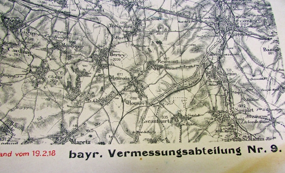
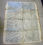 Original period manufacture. A large format printed map of the Arras-Valenciennes area of France. Prepared by the Bavarian Surveying Battalion Nr.9 and dated February 1918. The map measures 28x36 inches, folded as shown with some staining and small tears to the edges.
Photos of German WWI Military Map, Arras-Valenciennes, Army Map 1017, 1918
