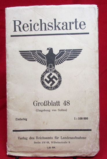
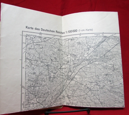
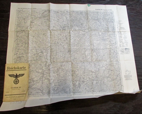
German WWII Reichskarte Map, Grossblatt 48, Soltau Area
This item is listed for historical interest only. It was listed on our site previously but has
been sold and is no longer available for purchase.
Sold for: $35.00
German WWII Reichskarte Map, Grossblatt 48, Soltau Area
This item is listed for historical interest only. It was listed on our site previously but has
been sold and is no longer available for purchase.
Sold for: $35.00
 Original era manufacture. German WWII large fold-out paper map. Grossblatt 48, which illustrates the area surrounding the town of Soltau Germany. Typical handling and wear. Folded it measures roughly 5 x 9 inches.
Photos of German WWII Reichskarte Map, Grossblatt 48, Soltau Area
